 PRECISION · TECHNOLOGY · CONTROL
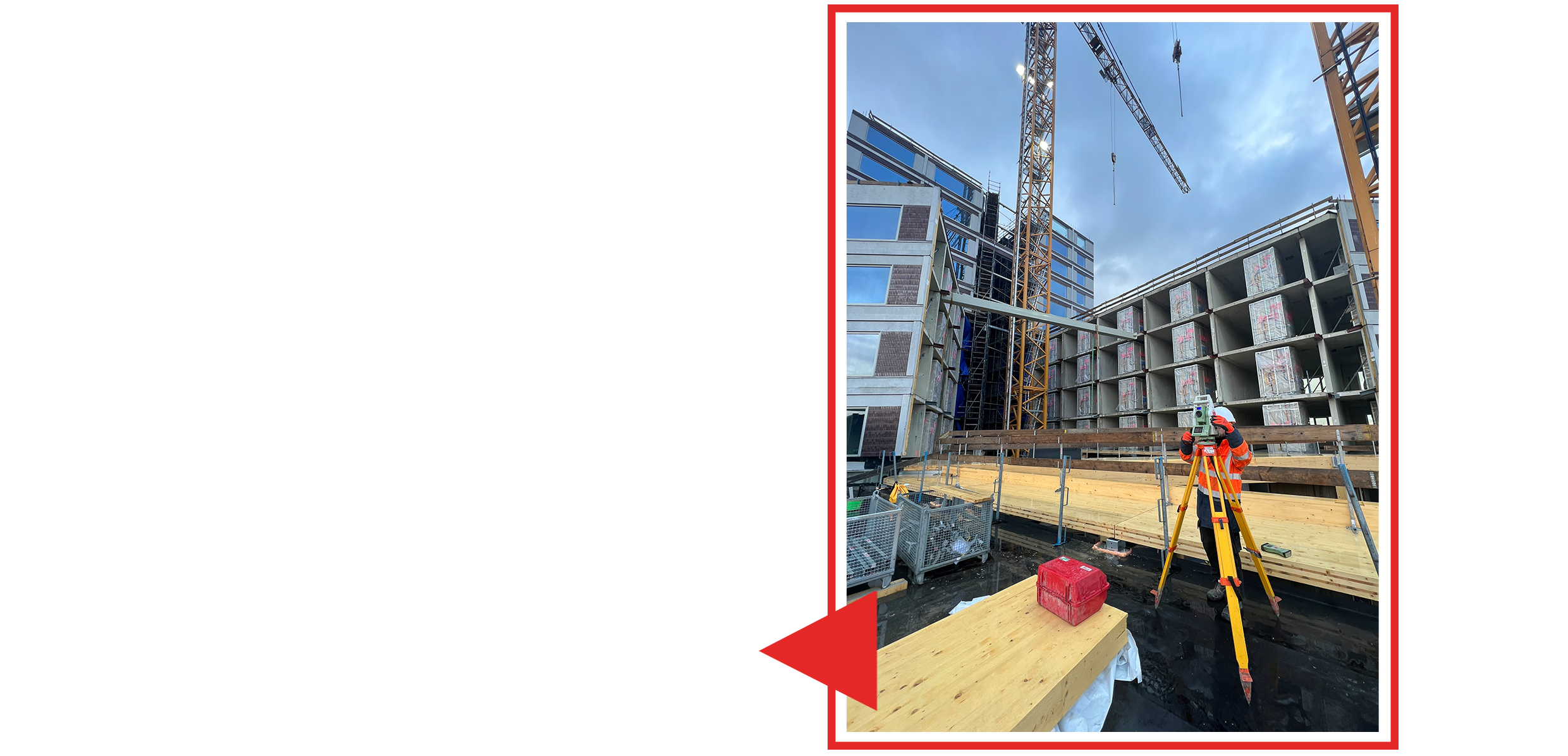 Construction
Construction
Construction surveying and geometric control on complex building sites.
Precision surveying, construction measurement, 3D laser scanning, monitoring and data processing for demanding projects. One technical partner from field acquisition to reliable deliverables.
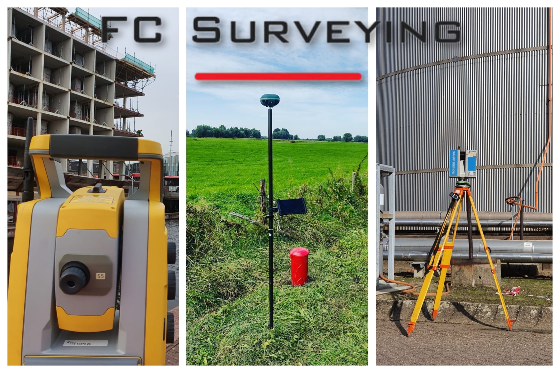
We turn field data into clear, reliable technical information. Our team works with high-precision instruments, digital workflows and a practical understanding of construction and industrial environments.
Company →A focused range of surveying and data-processing services for construction, infrastructure, industry and complex built environments.
High-precision measurements, control networks, terrain data and reliable survey deliverables.
→ 02Setting out, axes, levels, foundations, structural elements and geometric control on site.
→ 03Point clouds, as-built capture, dimensional documentation and digital survey data.
→ 04Detailed scanning for interiors, structures, installations and areas where dimensional control matters.
→ 05Surveying and dimensional control in industrial environments, with careful coordination around active operations.
→ 06Survey support for specialist environments where access, conditions and operational constraints require a controlled approach.
→ 07Repeated measurements and deformation control to identify movement, settlement and change over time.
→ 08From raw field observations to coordinated drawings, point-cloud data and clear technical documentation.
→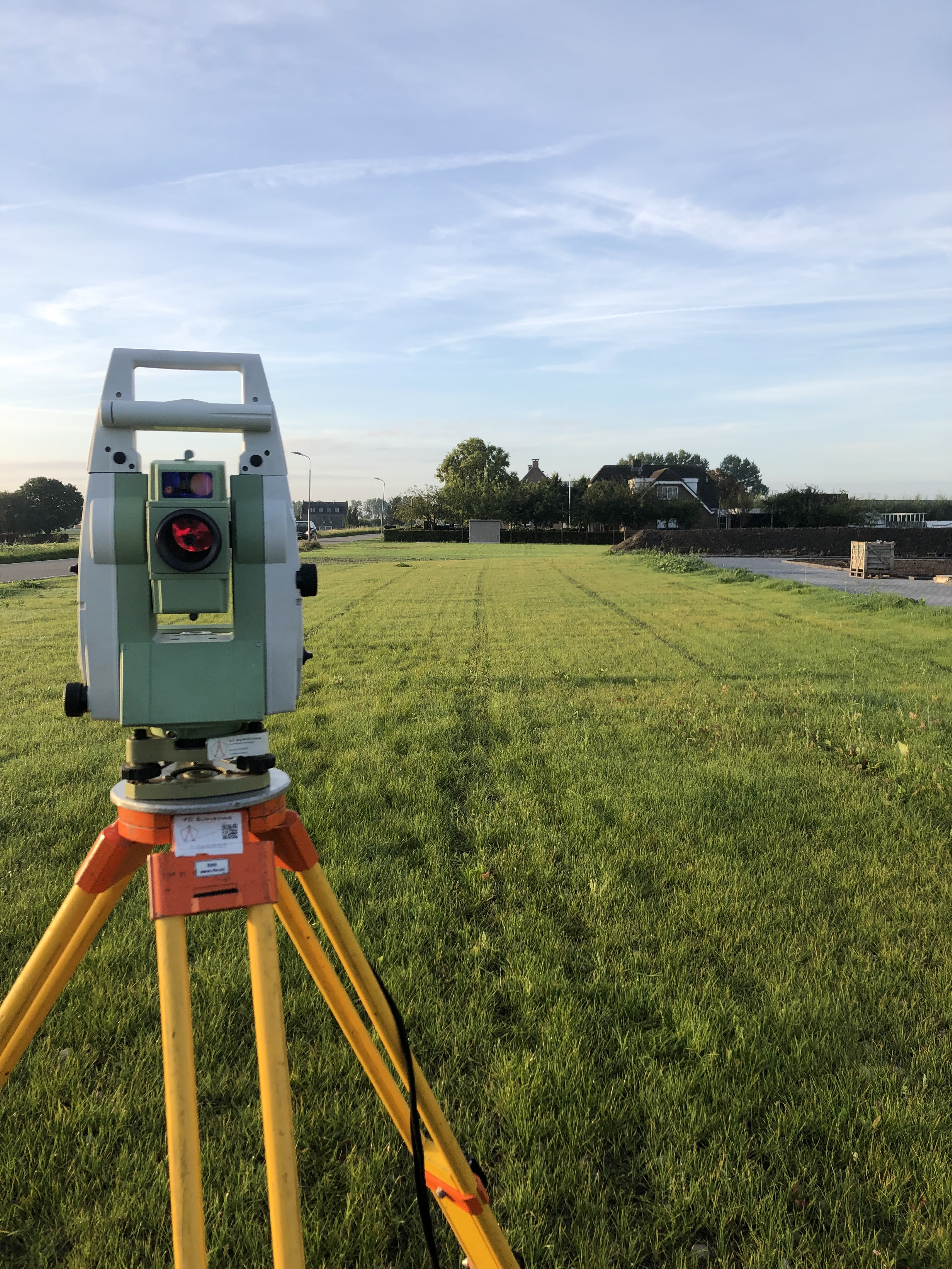
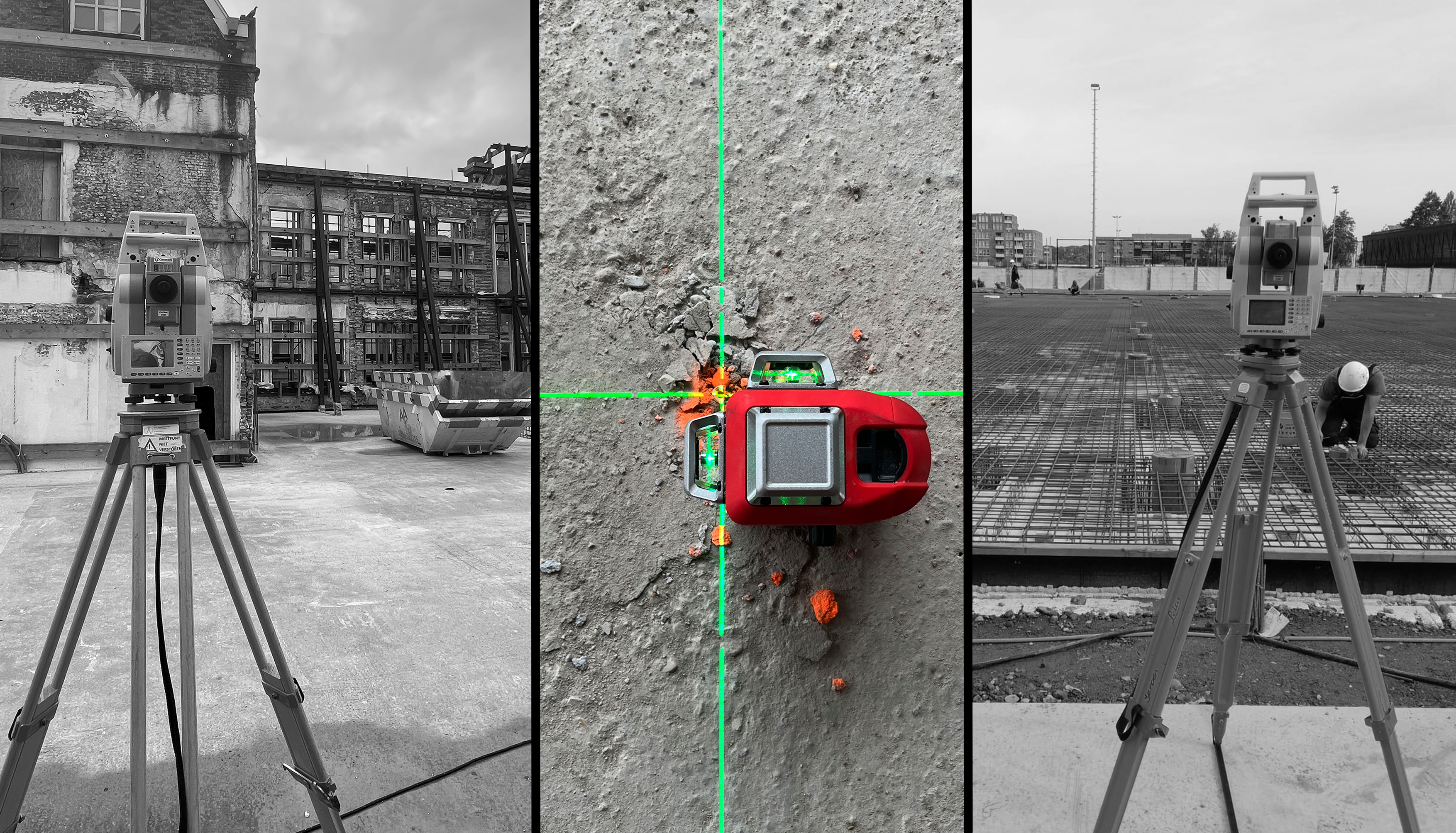
High-precision GNSS, total stations, digital levels and 3D laser scanning are integrated into a controlled workflow designed for accuracy, traceability and fast delivery.
Company →FC Surveying has worked across construction, industrial, infrastructure and specialist surveying environments in the Netherlands and internationally.
Construction
Construction surveying and geometric control on complex building sites.
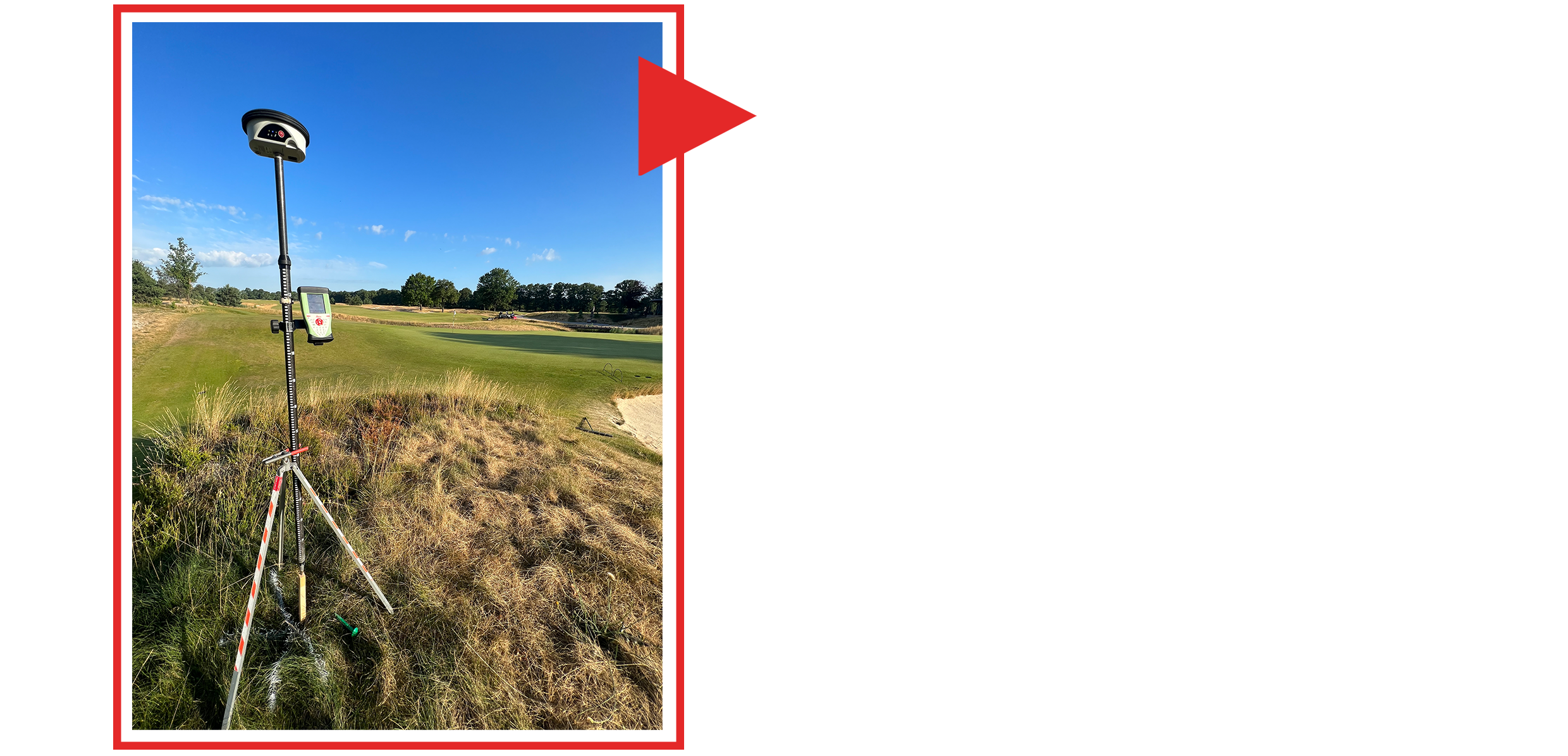 Topography
GNSS, total station and control measurements for terrain and infrastructure.
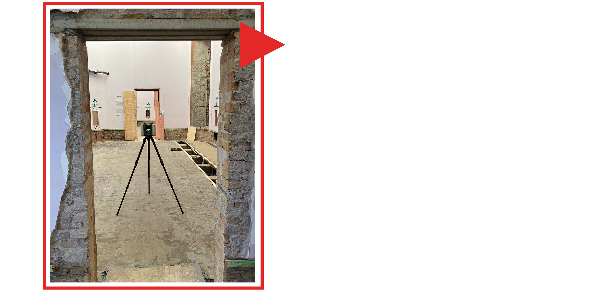 3D scanning
Laser scanning and point-cloud acquisition for existing conditions and dimensional documentation.
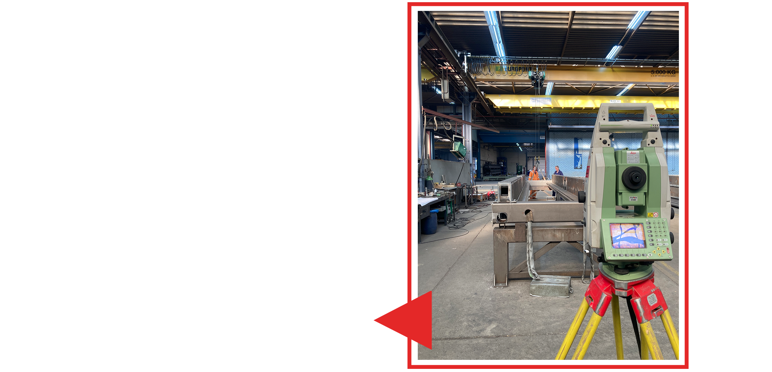 Industry
Surveying support in industrial environments where precision and coordination are critical.
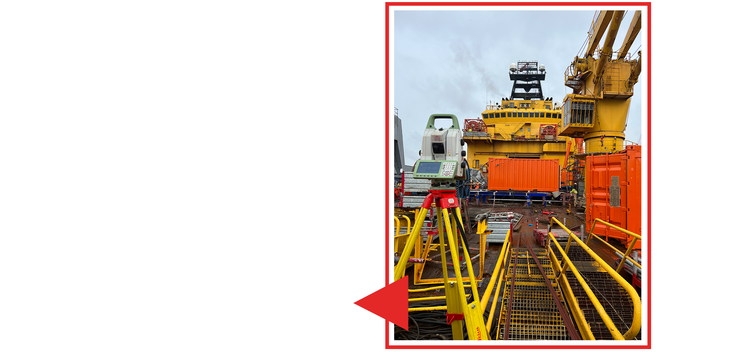 Specialist work
Technical surveying in demanding operational environments.
Data & as-built
Digital documentation built from measured reality and controlled field data.
We define the technical requirement, tolerances and expected deliverable.
We acquire reliable field data using the right instrument for the task.
We register, calculate, model and validate the collected information.
We check geometry, consistency and quality before delivery.
You receive clear, usable information ready for the next project step.
Tell us what you need to measure, set out, scan or monitor. We will assess the requirement and come back with a practical proposal.