 PRECISION · TECHNOLOGY · CONTROL
Services
Topographic surveying
High-precision measurements, control networks, terrain data and reliable survey deliverables.
FC SURVEYING
Topographic surveying
High-precision measurements, control networks, terrain data and reliable survey deliverables.
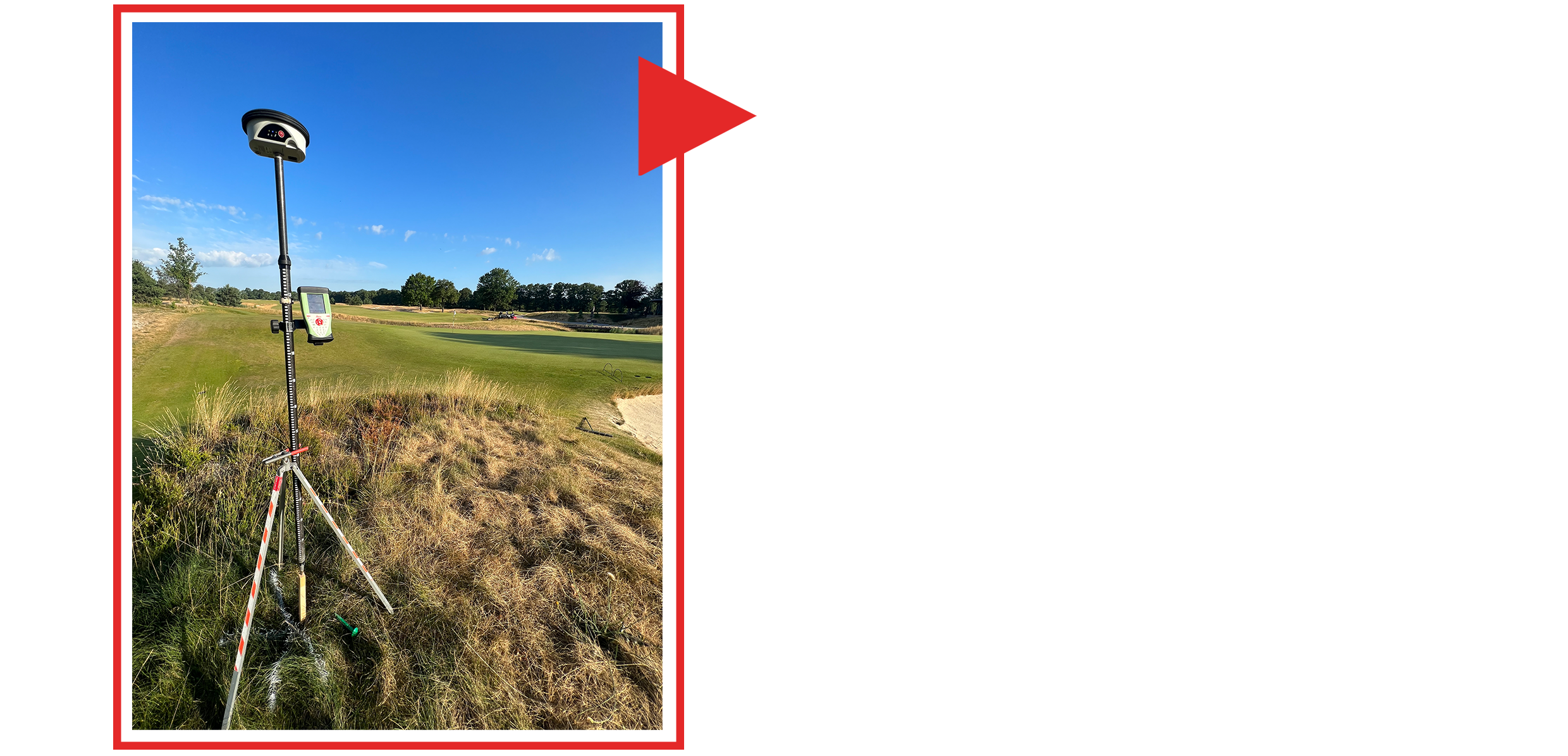
High-precision GNSS, total stations, digital levels and 3D laser scanning are integrated into a controlled workflow designed for accuracy, traceability and fast delivery.
Request a quote →